My Experience
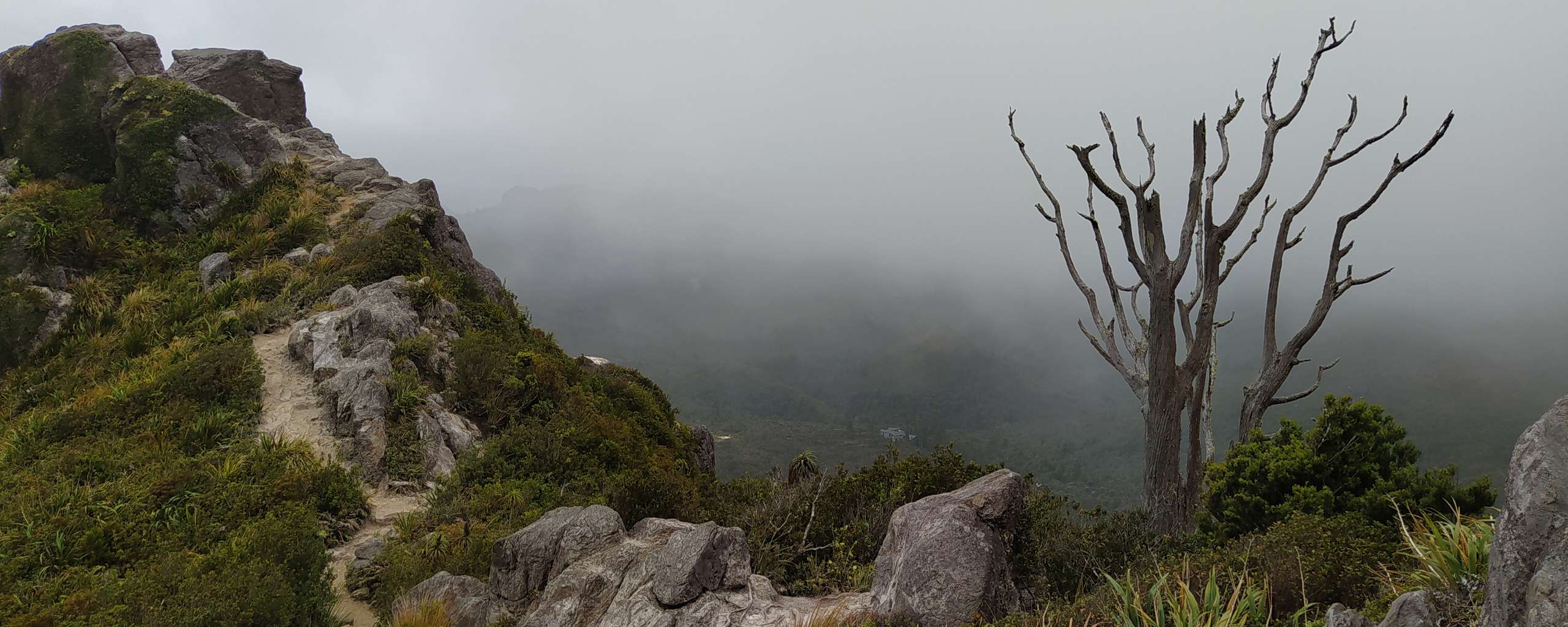
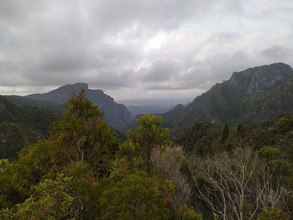
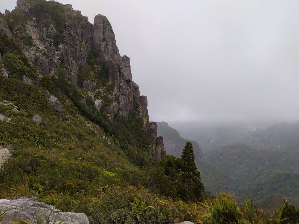
Green, green, lots and lots of green.
This was my first actual hike in New Zealand and the views were so worth it! I'd just arrived from Santiago, Chile a few days prior and as much as I had enjoyed my time there, I was a bit over being in a crowded city. Especially given how dry and smoggy Santiago can get in summer.
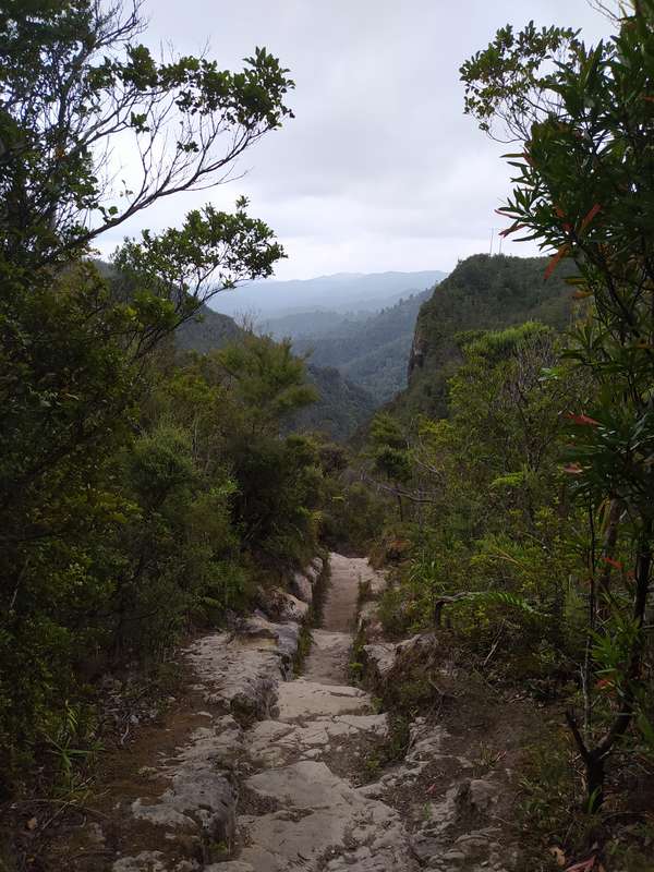
In short, this walk was quite a change of scenery. Trees, lush green everywhere, rivers and streams, the typical smells of forest, humidity,...
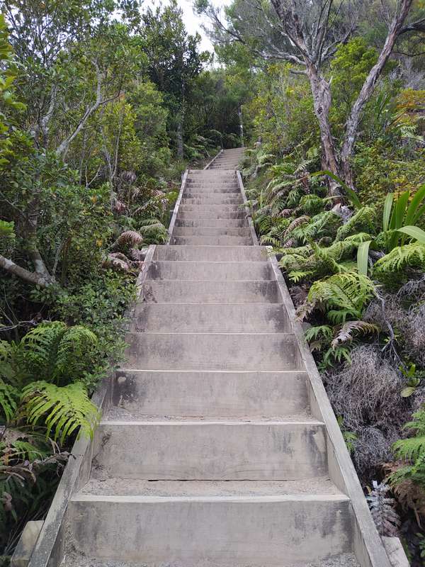
One of the most memorable things about this track, next to the views of course, is how well maintained it was. That doesn't necessarily make this track stick out. NZ's Great Walks, non backcountry tracks or simply very touristy tracks are quite common to be well maintained by DOC (NZ's Department of Conversation).
But again, I had just come from South America after a year full of tracking of all sorts, specifically in Patagonia and Peru. For a track to have stairs starting a couple hundred meters of elevation below the summit and going almost all the way up was just...
Odd.
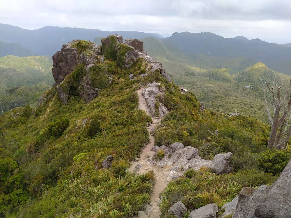
This does make this track a good option for hikers at beginner level. Still, parts of the track get reasonably steep. The last section from the Pinnacles Hut to the actual summit may impose a challenge for people who are scared of heights or uncomfortable climbing up somewhat steep ladders.
If you feel like the elevation and/or distance is a bit too much for a single day, but don't want to miss out on the views: Just stretch it over multiple days. As I mention above in the short outline, the hut and a couple of campgrounds give some options to adjust to personal wants.
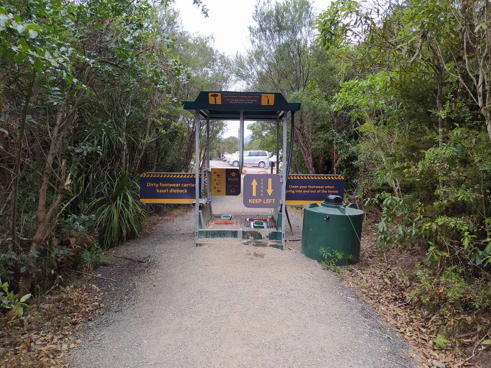
Another thing that made this one a bit special to me was the disinfection station on the way in/out. Kauri are an indigenous tree species in the North Island of New Zealand. They are threatened by a fungus-type disease called Kauri dieback Put simply, this is spread through soil and primarily caused by human activity. Which is what these cleaning stations are for (see photo).
Oh, by the way, these trees can get over 2,000(!) years old.
Two thousand years...
Let's have that sink in for a wee moment. This means, from what is currently assumed, the oldest Kauri trees, such as Tāne Mahuta and Te Matua Ngahere, already existed way before the first humans arrived in the main islands of New Zealand.
If you're as excited as me about these trees and want to read some more about them, check out DOC's info page here.
Leave a comment*
(*Please see A word or two.)