My Experience
Our day starts with llamas. The woman who's running the shop opens it in the morning with what seems like her pet llama accompanying her. It's also the first time that I've heard a llama make the funniest sound. I guess he / she isn't allowed inside the shop. So, every time the llama's human would go inside the llama would be standing in the door, making this sound and looking very desperately into the shop. It's comparable to the whining sound dogs sometimes make but still different. Hard to describe, and very interesting to observe this human animal connection.
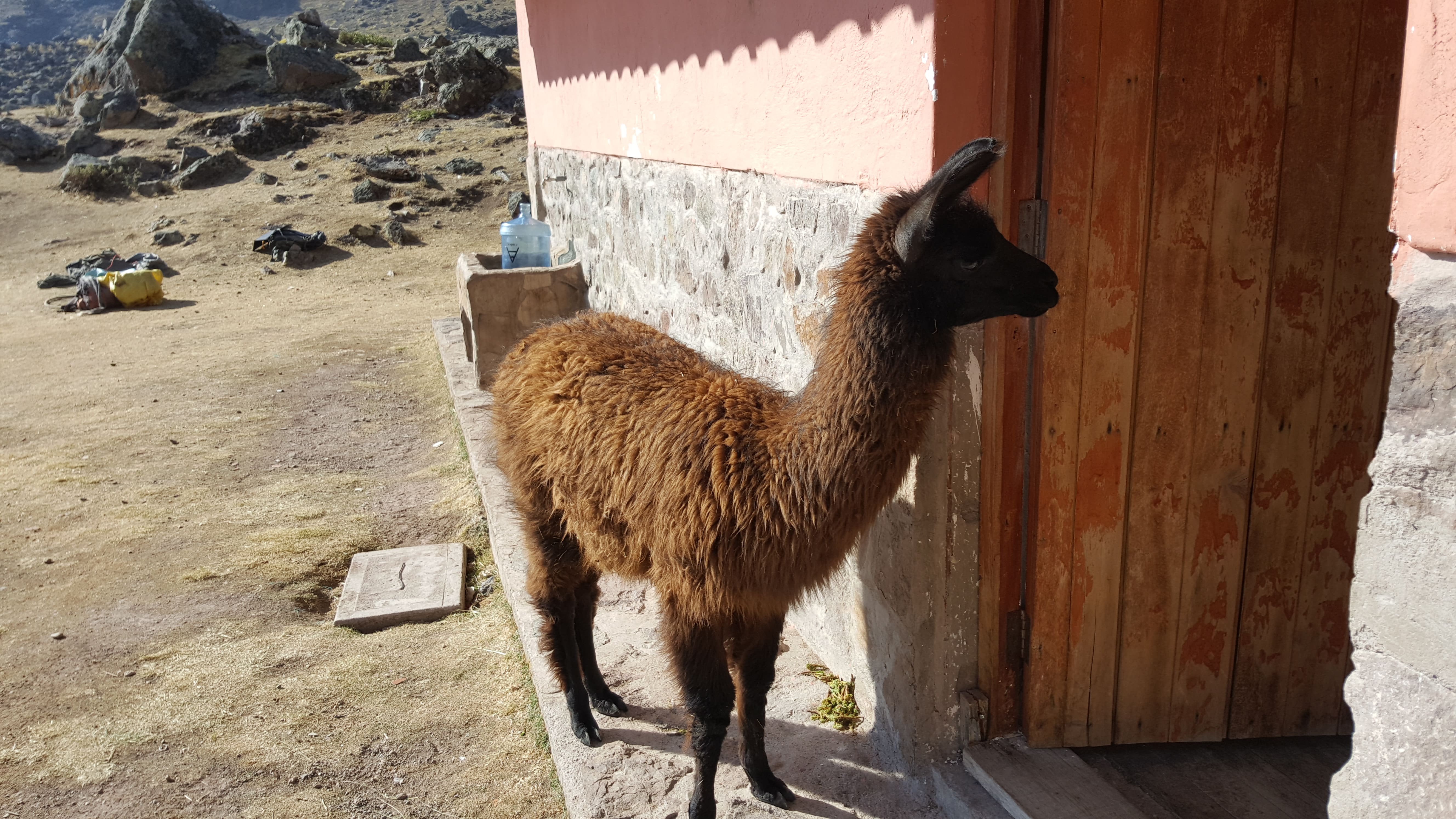
The shop owner's llama friend
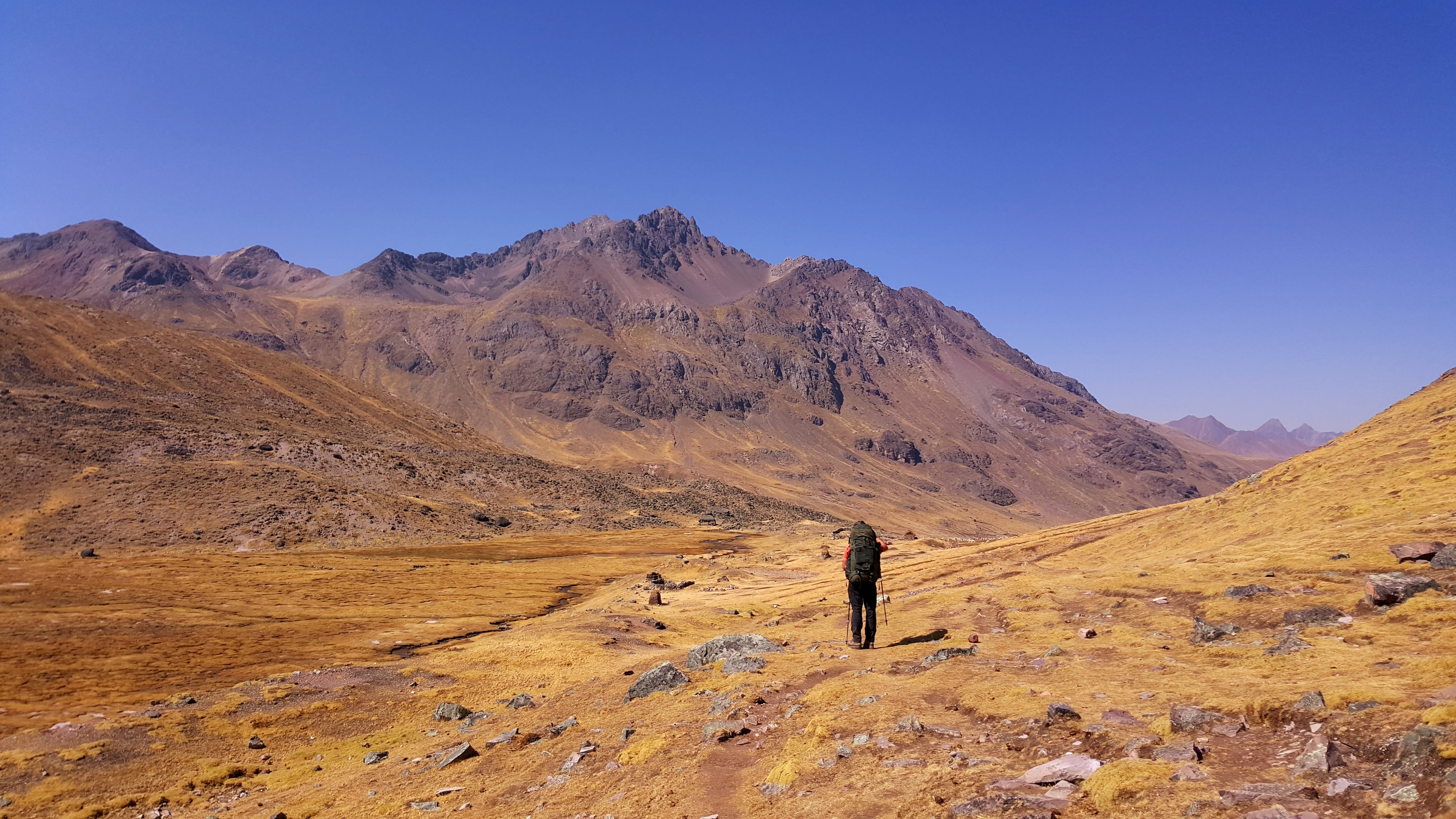
We wait for the sun to hit our campsite and dry the tents a little bit before packing up. Then we make our way towards the last pass to cross.
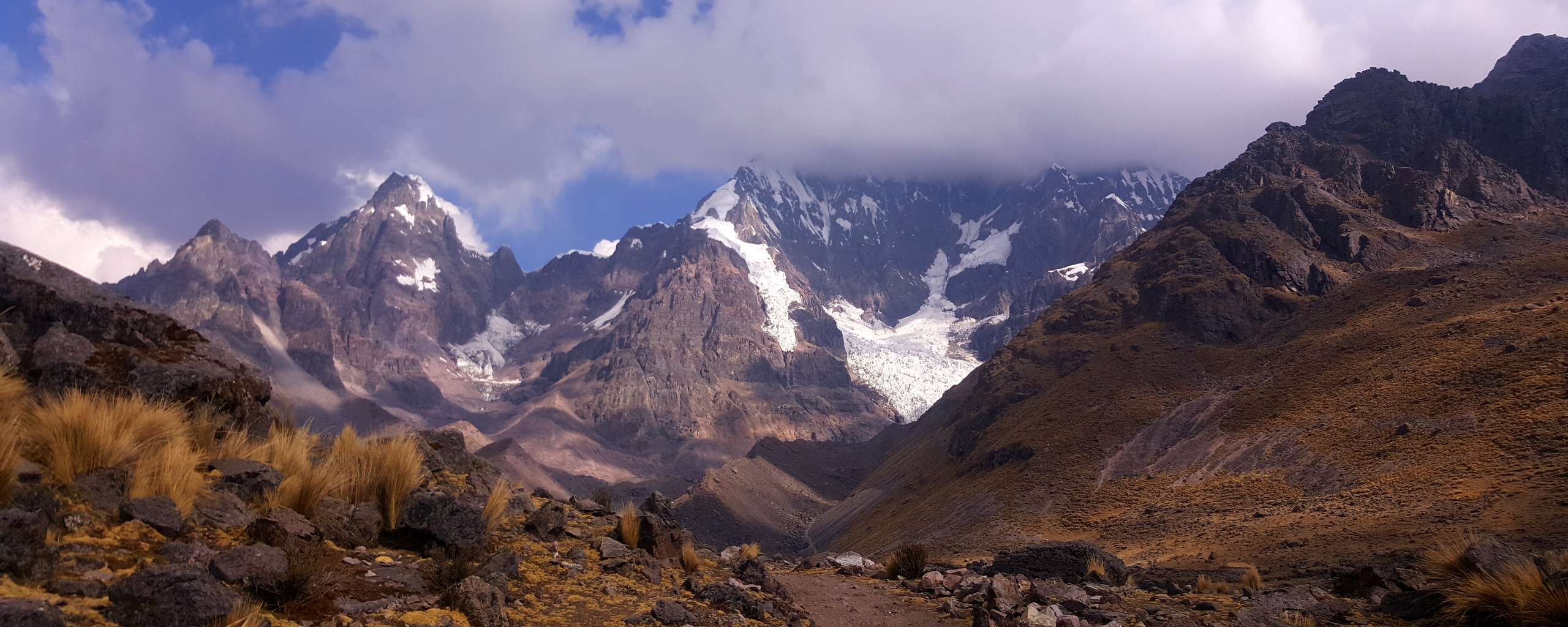
The section up to Qampa is one of my favourites of the entire track. The landscape seems vast, surrounded by mountain ranges. Some snow covered. Some aren't and show themselves in the colour range common in this place: anything between red. orange, yellow, occasionally grey and black. It's one of these hiking sections where you have to turn around and look back every now and then to take in yet a different, equally mesmerizing, view like the one ahead.
 This is looking back to where we came from. Abra Qampa is coming up behind me (taking the photo)
There's always a little bit of euphoria coming up during the last day of a multi day tramp. Sparked by an awareness that it's back to civilisation again soon, away from the embrace of mountain ranges. In combination with maybe already some reflection of the past days of hiking, depending on how difficult the last section is. This day's part of the track is the longest of all five days of hiking for us. Yet with regard to perceived difficulty it's one of the easiest and smoothest. The elevation gain and loss is very gradual. My backpack has become lighter and my body adjusted to carrying it. Hence it doesn't feel nearly as heavy as on the first couple days. Then there's the landscape keeping us busy. But that's been the case from the very first steps we took on day one.
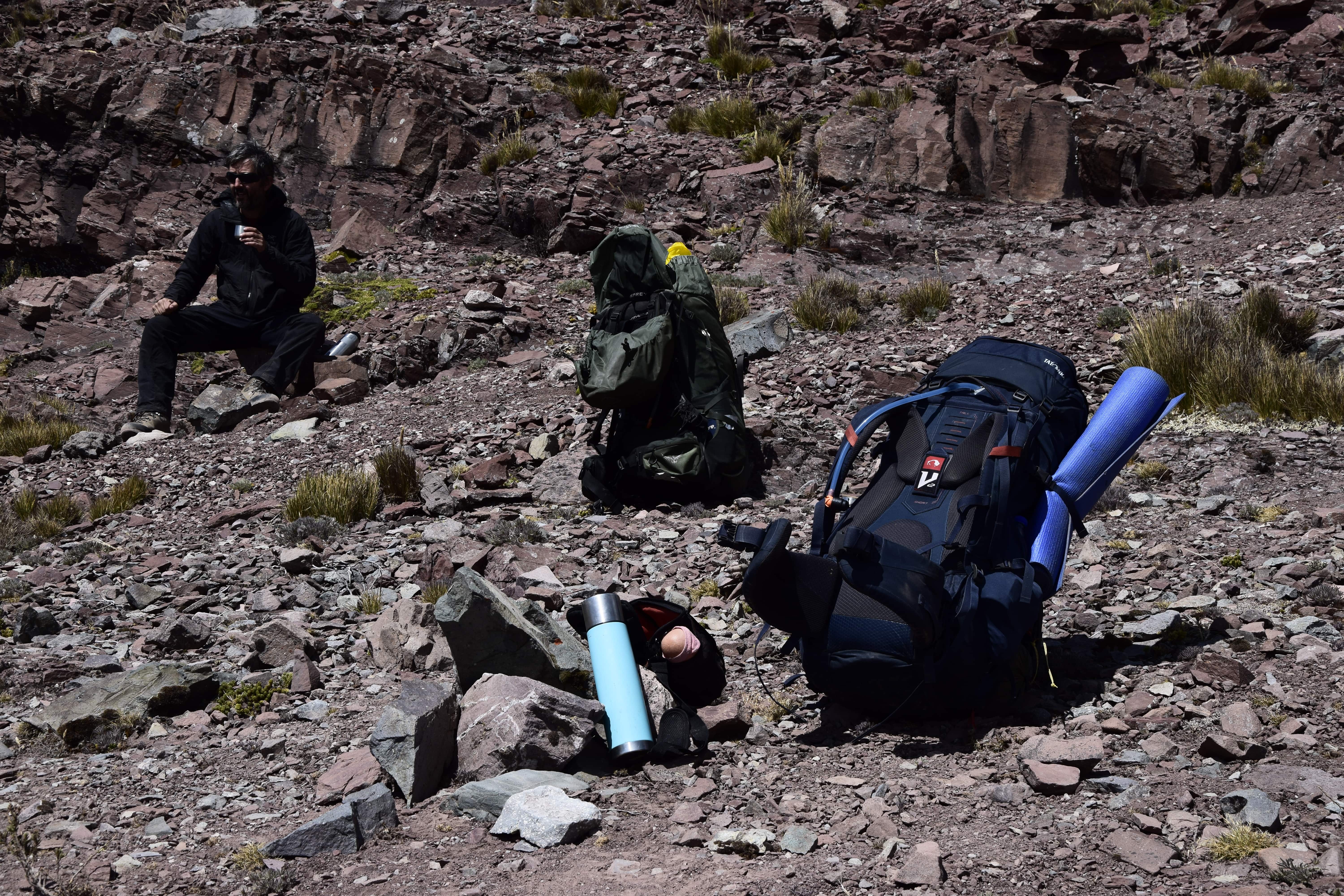
 Having a quick rest while taking photos on a perfectly located pile of rocks ;)
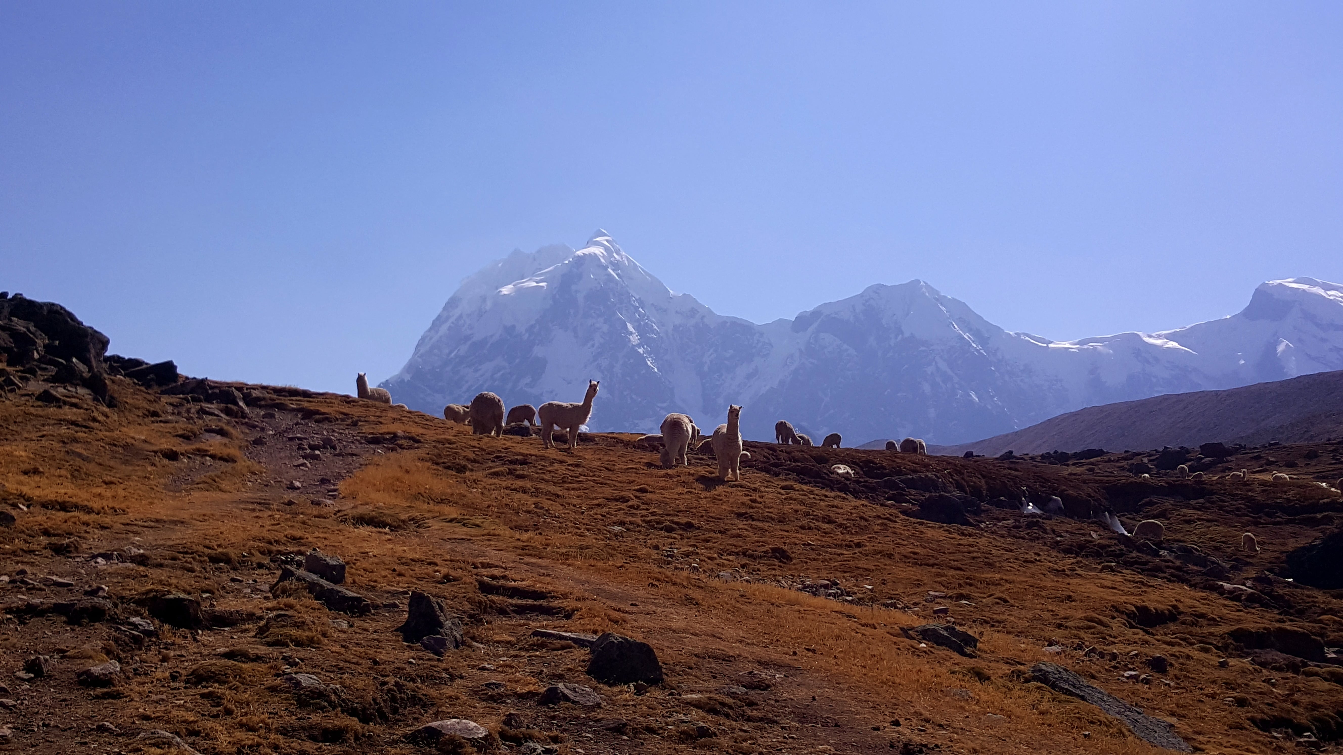 More llama friends on the way to the pass
During multi day hikes I always run into a sort of love / hate dilemma with my DLSR camera that I still haven't figured out. It would be the easiest to just have it somewhere very quick to grab, so I don't have to put down my backpack every time I want to take a photo with it rather than just my phone. This usually means having it hanging around my neck. It doesn't take long for this to annoy me, especially when the hike becomes a bit more demanding. So I mostly default to using my phone while walking and the DLSR camera during breaks when I actually put down my backpack and can then reach it easily. It seems like it's always about deciding either for focusing on taking photos or simply hiking. That's what I mean by love / hate dilemma: I would love to focus on taking photos. This usually adds quite a bit more time effort to walking a track. At the same time, I would love to just hike, take in the views and current moments. I haven't quite figured out a good balance for me there. Still a work in progress :)
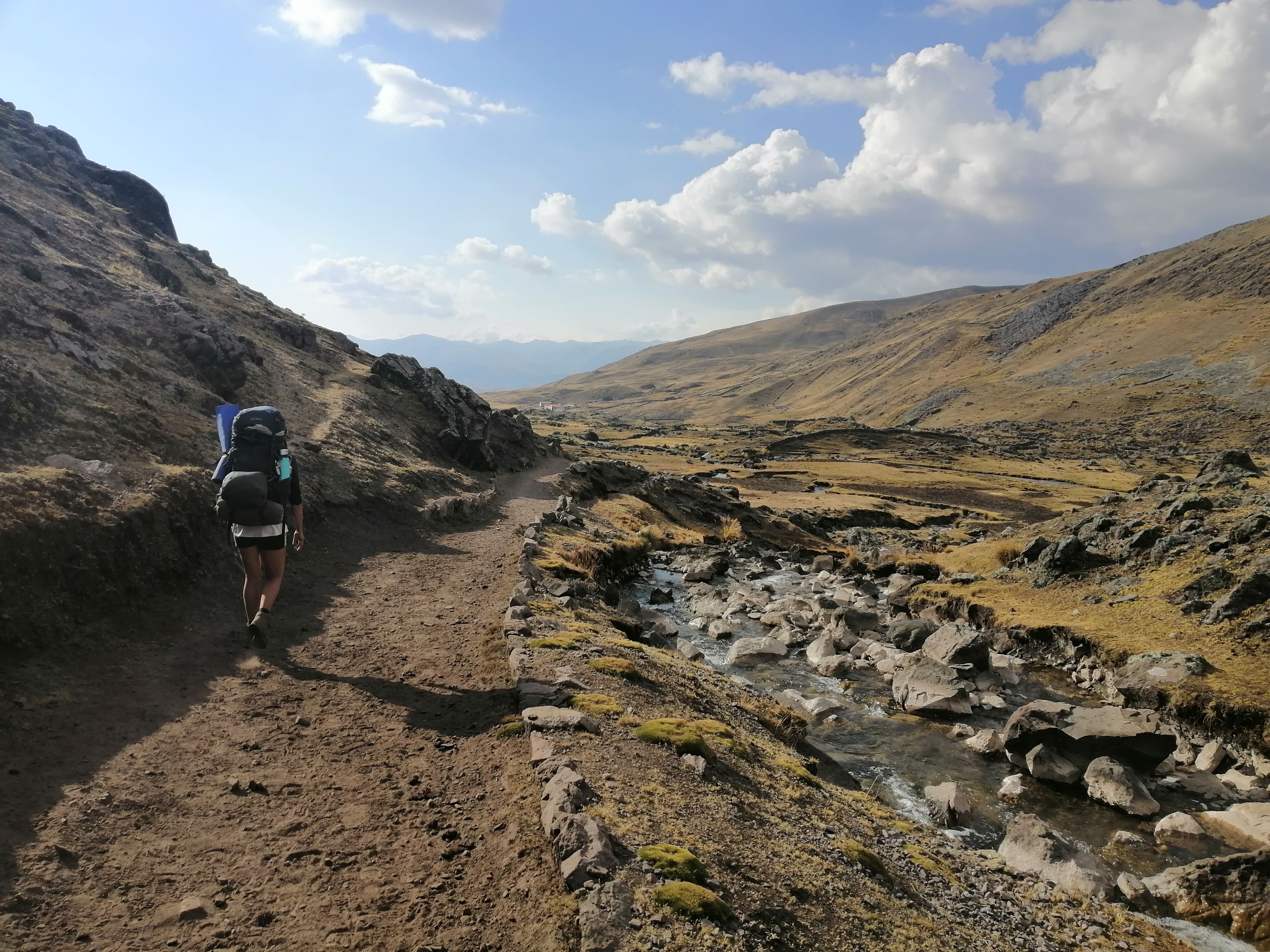
Having the same starting point and destination for today we sort of hike alongside our guided group friends on and off all day. We left the campground shortly after the first few helpers made their way with donkeys and equipment towards Pacchanta but before the clients start walking.
 Abra Qampa is "just" around the corner...
 ....and always taking glimpses back at the landscape left behind
We reach the pass with donkeys and crew in sight, but still ahead of us. They're taking a slightly different path than us and the others. I assume it's a short cut.
There are more clouds today. The days prior we've had clear blue skies almost the whole time. As the wind has been picking up towards the pass, I use our break at Abra Qampa to change into warmer clothes.
 Coca tea break at the pass
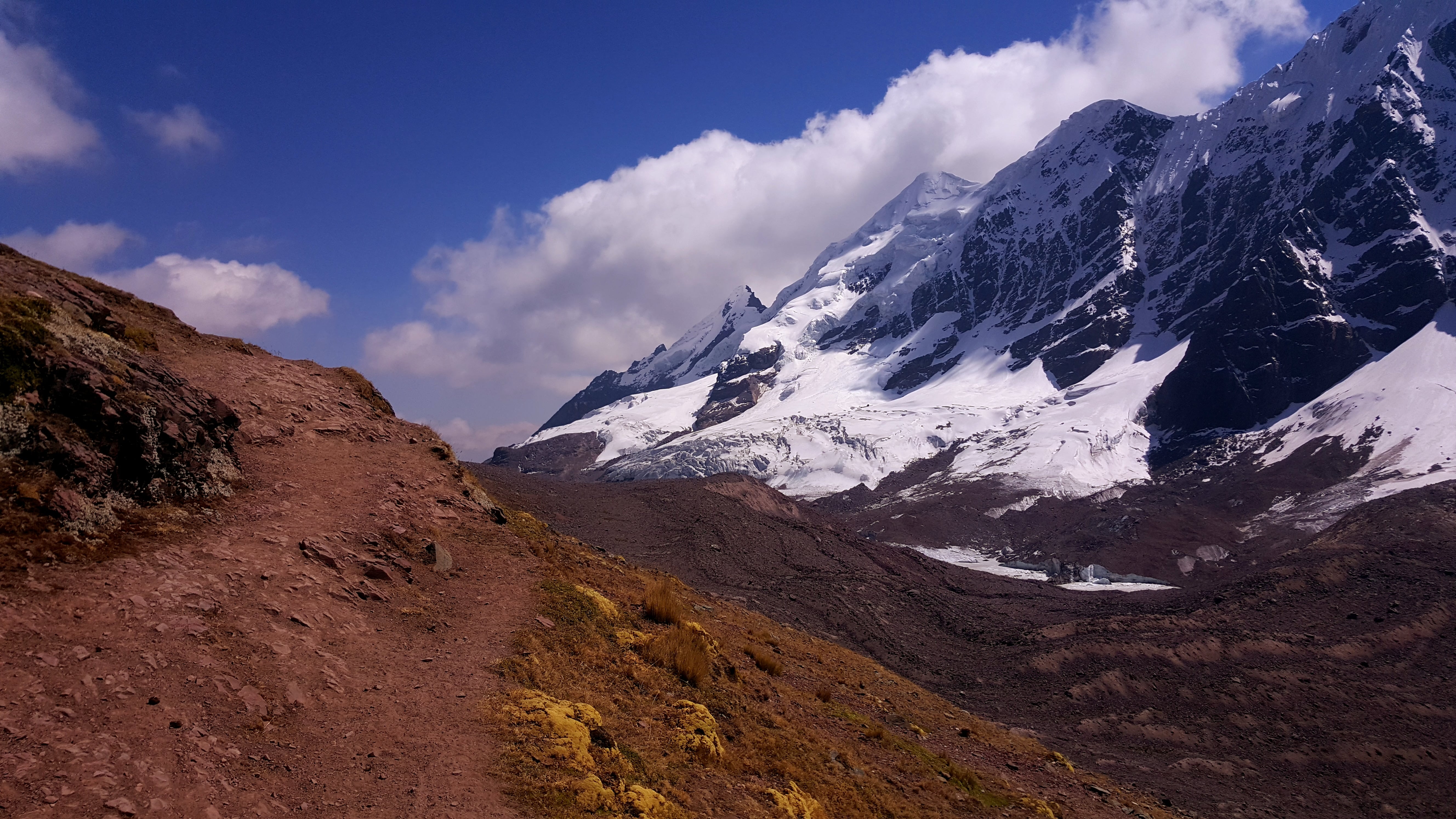
Despite the wind giving us a bit of a chill we take a longer break to enjoy views and take it all in. A hot cup of coca tea helps to keep us warm. Abra Qampa lies in the midst of the Vilcanota mountain range, between Nevado Ausangate and Puka Punta, another peak. The proximity to the mountains gives us full sight of the retreating glacier you see on the below image.
 This is a retreating glacier partially covered in debris at the bottom of the mountain
It is on the way down from the pass that my little present from our Huayna Potosí ascent earlier in the month becomes a little more than noticeable to me. Huayna Potosí is a 6000er peak in Bolivia we climbed where I made the stupid mistake to not tie my boots tight enough on the way down. Which is why my toe, specifically toe nail, kept banging at the front of the boot. Hence I came out of that experience with a blue-ish and black-ish toe nail that now is pulsing with pain. Nothing I can recommend to try despite how fun it may sound here. In case it isn't obvious, I'm being ironic ;) All the joys of hiking, ey?
 The weather is a bit more moody today. I'm still wearing my warm clothes I changed into at Abra Qampa...
 ...a few kilometres later I'm back to shorts. Houses in Pacchanta are visible in the back of the photo.
Then we arrive in Pacchanta, our destination for the day and this multi day track. We decide to check out some hostels and accommodation for prices to give our tents a bit of a dry. We'll be heading back to Tinki and then drive to Cusco the next day so they'd be lying around wet in the car for a wee bit. We find a cheap alternative and get settled before checking out the hot pools we have heard about.
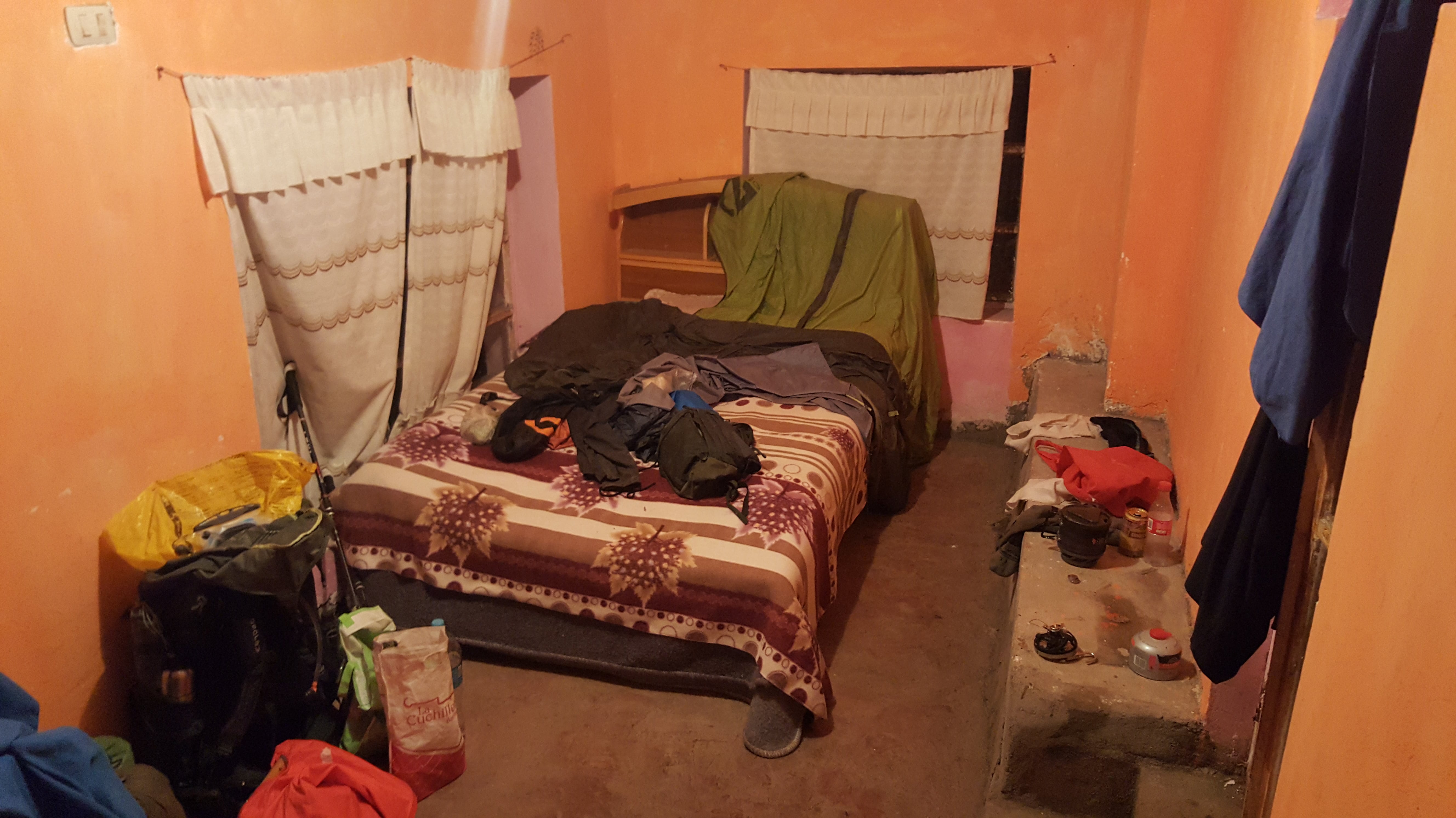 Our room and half-hearted attempt to dry the tents ^^
On the way we pass the shop to get some post hike beers. We meet the guide of our guided group friends and get into into a chat with him. Well, Darryn is while I try to pick up as much of the conversation as possible. We end up bargaining a very good price for a ride out back to Tinki. Like the walk to Upis, the walk from Pacchanta is mostly along a dirt road, something we weren't so keen on.
With each a beer we make our way to the hot springs and meet again our friends from yesterday's wee gathering in their dinner tent. Some clouds are accumulating around Nevado Ausangate under the colours of the sunset. This is the first time we've seen this mountain in clouds during the entire hike. I immerse myself in the warmth of the pool, the conversation with the others and catch a glance at Ausangate every now and then. It's hard to communicate feelings that come up in moments like this one. Profound contentment describes it best, I guess. But these are only words. If you've never felt something like this before you won't know what I mean despite the words. If you have felt like this before you'll know exactly what I mean. Although rather than words making sense you will very likely simply have memories (and maybe emotions) popping up.
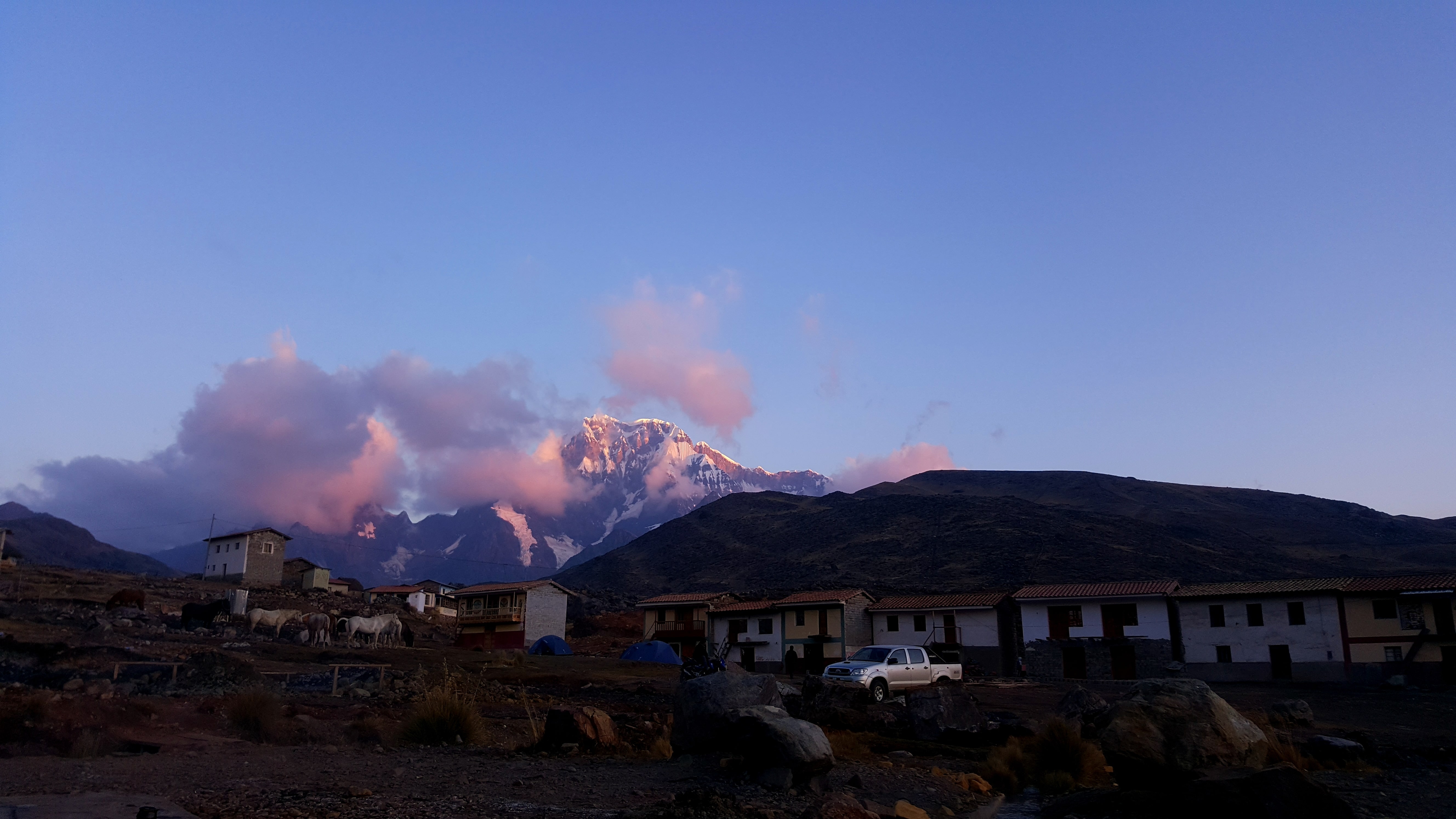
View from the hot springs on our last evening with Ausangate...
It's when a moment becomes so fulfilling that it doesn't matter if the next moment never happens. When everything makes sense just the way it is, right here, right now.
And with this I'll conclude this little story of the Ausangate Circuit Track. Still being one of my favourite tracks to look back on....
Leave a comment*
(*Please see A word or two.)